


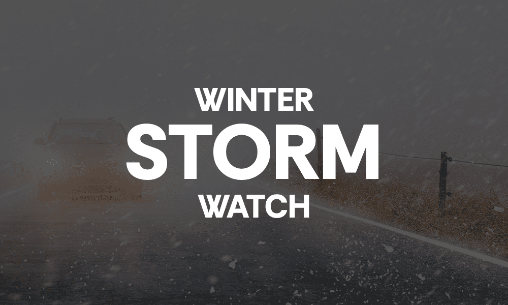
A Winter Storm Watch remains in effect for Fayette and Coweta counties this weekend, as a stronger winter storm system impacts north Georgia and prompted Gov. Brian Kemp to declare a statewide state of emergency.
While the most serious winter weather is expected north of Interstate 20, residents locally should remain weather-aware, particularly those planning to travel north into areas under a Winter Storm Warning.
According to the National Weather Service forecast for Peachtree City, conditions locally are expected to be mostly rain, with only a limited window for freezing precipitation late Saturday night into early Sunday. Little or no ice accumulation is currently expected in Fayette and Coweta counties.
Where else will it impact?
“A high-impact ice storm is expected across north Georgia this weekend,” wrote Congressman Brian Jack. “Over half of our Congressional District is under a serious weather advisory. Coweta, Carroll, Fayette, Spalding and Haralson Counties are under a Winter Storm Warning. Two counties are under an additional, elevated warning: Douglas and Henry.”
Rep. Jack suggested the following from the National Weather Service: That you stock adequate food, water and medications; keep electronic devices charged and operable; and have multiple ways to receive updates from the National Weather Service, as watches and warnings may change. Check on neighbors and family; and bring pets indoors and ensure they have water.
What to expect locally
Tonight will be cloudy with a low around 37 degrees and a light north wind.
Saturday will remain cloudy, with a 30% chance of showers developing after 3 p.m. High temperatures are expected near 45 degrees, with east winds increasing and gusts up to 20 mph.
Saturday night brings the highest potential for winter impacts locally. Rain showers are expected before 1 a.m., followed by rain possibly mixing with freezing rain as temperatures fall to around 32 degrees. Winds will be breezy, with gusts up to 25 mph, though forecasters say little or no ice accumulation is expected at this time.
On Sunday, rain may again mix with freezing rain early before transitioning to all rain by mid-morning. Thunder is also possible. High temperatures are expected near 50 degrees, with gusty winds continuing.
Colder air moves in Sunday night, with lows dropping to around 22 degrees and a lingering chance of showers early in the evening.
Monday is expected to be mostly sunny but cold, with a high near 36 degrees.
Travel caution urged—especially north
Even if Fayette and Coweta counties avoid significant winter impacts, road conditions could deteriorate quickly north of the area, where heavier ice and wintry precipitation are expected.
Residents are urged to use caution if traveling toward metro Atlanta or north Georgia, monitor updated forecasts, and consider delaying travel if conditions worsen.
Local leaders encourage safety and neighborliness
“City staff are monitoring the approaching storm and sharing information as it comes in. Our public safety and public works crews are ready and on the job. If conditions worsen, we can all help by staying off the roads, looking after one another, and supporting those who are working to keep Peachtree City safe,” said Peachtree City Mayor Kim Learnard.
Newnan’s new Mayor James Shepherd added, “The reports are looking good, and the city and Newnan Utilities are prepared for whatever comes. Still, please stay aware of the situation, keep an eye on reports from the city, and look out for your neighbors.”
Rep. Jack concluded, “Please stay safe this weekend, and may God guide us safely through this storm.”


Leave a Comment
You must be logged in to post a comment.