


Black ice likely late tonight through Tuesday morning over portions of north and central Georgia including the Atlanta Metro, National Weather Service says —
Ice may form on local roads later Monday night and into Tuesday morning, resulting in potentially hazardous driving conditions in Fayette and Coweta counties northward, according to the National Weather Service Forecast Office in Peachtree City.
Here’s the NWS special weather statement issued just before 3 p.m. Monday:
Rainfall associated with an approaching cold front will be moving through the region this afternoon and evening.
As the rain exits the region this evening cold air will filter into the area quickly behind the rainfall. In addition, relative humidity values are expected to remain high over night.
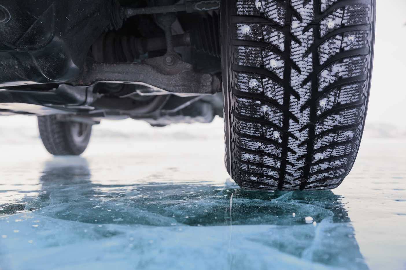
As a result of the temperatures quickly dropping below freezing and relative humidity values remaining high, many area roads and bridges will not have an opportunity to dry off and subsequently have an opportunity to freeze overnight and into the early AM resulting in areas of black ice.
Areas along and north and west of the Interstate 85 corridor have the greatest risk of black ice forming. Counties and communities just to the south and east of Interstate 85 may see some patchy black ice.
Across far Northwest Georgia and the North Georgia mountains, as the cold front pushes in behind the storm system this evening, rain could change to light freezing rain, sleet or snow.
Any accumulations are expected to be very light, however with temperatures falling into the 20s, some roads may become icy from winter precipitation or the refreezing of water on roadways previously mentioned.
Persons in these areas should remain alert, monitor the latest conditions and be prepared patchy black ice through the early morning.


Leave a Comment
You must be logged in to post a comment.