


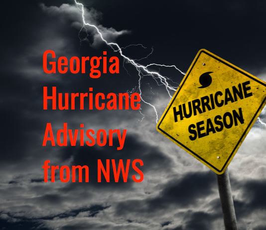
Tropical Storm Michael Local Statement Advisory Number 19
National Weather Service Peachtree City GA  AL142018
529 AM EDT Thu Oct 11 2018

This product covers NORTH AND CENTRAL GEORGIA

**Tropical Storm Michael Moving out of Georgia Today**


NEW INFORMATION
---------------

* CHANGES TO WATCHES AND WARNINGS:
    - The Tropical Storm Warning has been cancelled for
      Chattahoochee, Crawford, Crisp, Dodge, Dooly, Houston, Lamar,
      Macon, Marion, Muscogee, Peach, Pulaski, Schley, Stewart,
      Sumter, Talbot, Taylor, Telfair, Upson, Webster, and Wilcox

* CURRENT WATCHES AND WARNINGS:
    - A Tropical Storm Warning is in effect for Baldwin, Bibb,
      Bleckley, Emanuel, Glascock, Greene, Hancock, Jasper,
      Jefferson, Johnson, Jones, Laurens, Monroe, Montgomery, Morgan,
      Oglethorpe, Putnam, Taliaferro, Toombs, Treutlen, Twiggs,
      Warren, Washington, Wheeler, Wilkes, and Wilkinson

* STORM INFORMATION:
    - About 60 miles east-southeast of Athens GA
    - 33.5N 82.5W
    - Storm Intensity 50 mph
    - Movement Northeast or 45 degrees at 21 mph

SITUATION OVERVIEW
------------------

Michael is now a tropical storm and will continue to weaken as it
progresses northeast away from Georgia. Impacts will diminish
significantly this afternoon but until then, very strong winds and
periods of very heavy rain will continue.

Sustained winds of 25 to 40 mph will be possible with gusts up to 60
mph across portions of east Georgia.

Additional rainfall amounts of 1 to 3 inches are expected this morning.
An elevated risk of localized flash flooding exists due to the heavy
rain on top of already saturated grounds.

POTENTIAL IMPACTS
-----------------

* WIND:
Potential impacts from the main wind event are now unfolding across
eastern Georgia. Remain well sheltered from hazardous wind having
possible limited impacts. If realized, these impacts include:
    - Damage to porches, awnings, carports, sheds, and unanchored
      mobile homes. Unsecured lightweight objects blown about.
    - Many large tree limbs broken off. A few trees snapped or
      uprooted, but with greater numbers in places where trees are
      shallow rooted. Some fences and roadway signs blown over.
    - A few roads impassable from debris, particularly within urban
      or heavily wooded places. Hazardous driving conditions on
      bridges and other elevated roadways.
    - Scattered power and communications outages.

Elsewhere across NORTH AND CENTRAL GEORGIA, little to no impact is
anticipated.

* FLOODING RAIN:
Potential impacts from the flooding rain are still unfolding across
eastern Georgia. Remain well guarded against dangerous flood waters
having possible significant impacts. If realized, these impacts
include:
    - Moderate rainfall flooding may prompt several evacuations and
      rescues.
    - Rivers and tributaries may quickly become swollen with swifter
      currents and overspill their banks in a few places, especially
      in usually vulnerable spots. Small streams, creeks, canals,
      arroyos, and ditches overflow.
    - Flood waters can enter some structures or weaken foundations.
      Several places may experience expanded areas of rapid
      inundation at underpasses, low-lying spots, and poor drainage
      areas. Some streets and parking lots take on moving water as
      storm drains and retention ponds overflow. Driving conditions
      become hazardous. Some road and bridge closures.

Potential impacts from the flooding rain are still unfolding across
eastern Georgia. Remain well guarded against locally hazardous flood
waters having possible limited impacts.

Elsewhere across NORTH AND CENTRAL GEORGIA, little to no impact is
anticipated.

PRECAUTIONARY/PREPAREDNESS ACTIONS
----------------------------------

* OTHER PREPAREDNESS INFORMATION:

If you are prone to flooding or in an area under a storm surge watch
or warning, be prepared for the possibility of a quick and dramatic
rise in water levels.

Closely monitor weather.gov, NOAA Weather radio or local news outlets
for official storm information. Be ready to adapt to possible changes
to the forecast.

* ADDITIONAL SOURCES OF INFORMATION:
- For information on creating an emergency plan see ready.ga.gov
- For information on appropriate preparations see ready.gov
- For additional disaster preparedness information see redcross.org

NEXT UPDATE
-----------

The next local statement will be issued by the National Weather
Service in Peachtree City GA around 1130 AM EDT, or sooner if
conditions warrant.

A few corrections are in order. First, Georgia's data center incentive is primarily a sales tax exemption on qualifying equipment—it…


Leave a Comment
You must be logged in to post a comment.